
What is it? An app called MapRun  that allows anyone, at any time, to run a ‘virtual’ orienteering course.
Where can I do it? Courses all over the country (and the world)
Where is the map? You can run the course just using the app on your phone, but most orienteers also print off a map for ease of navigation. The title of the course map on MapRun is indicated in italics in the information for each location. e.g. Broadstone MapRun FYW Dorset Long (ignore the text after) The link to the maps for printing are written in green e.g. Boscombe Straight Score
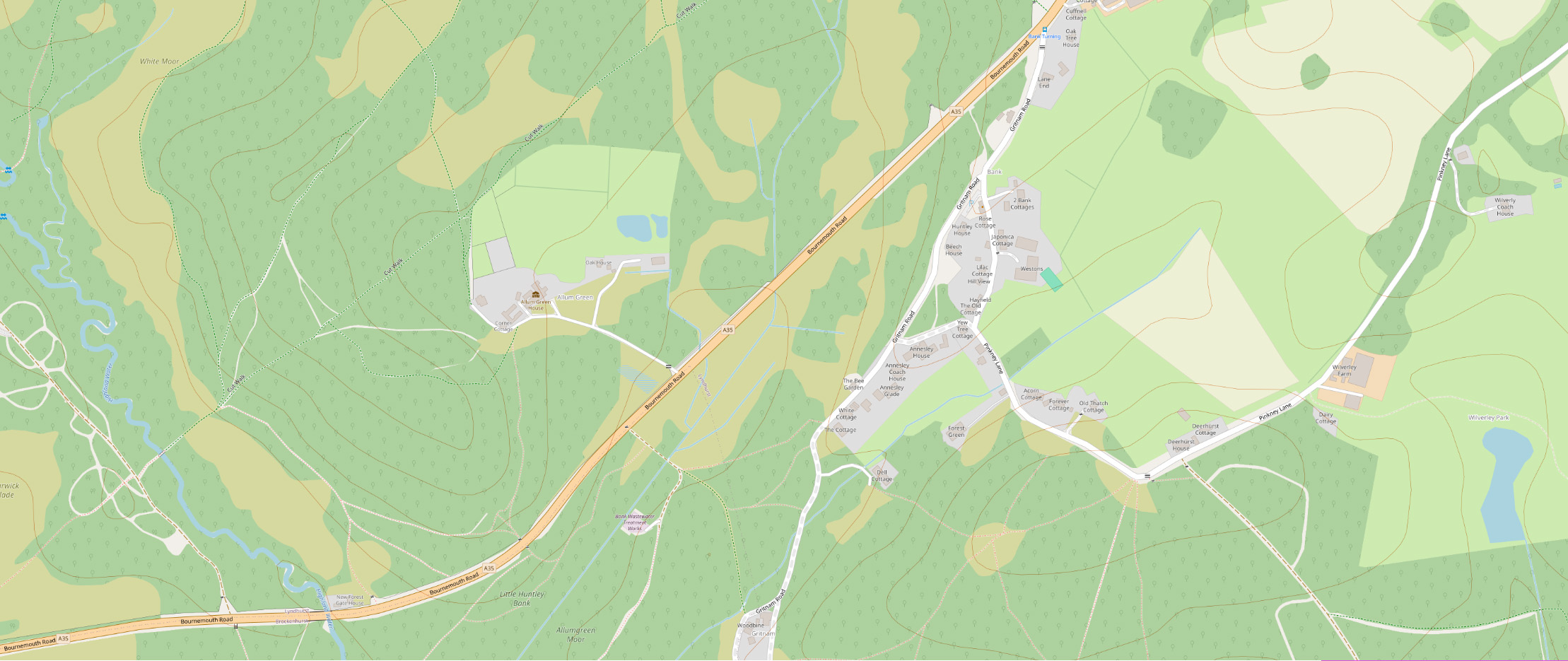
What sort of map? Some of the maps are A4 sections of existing orienteering maps and some are street maps generated using the Open Orienteering Map project.
What distances are they? They vary but the approximate distances are given, assuming that all the controls on the Score courses are visited. But you just visit however many you can in 60 minutes.
How do I do Maprun? Here is some information published by MapRun, and some Guidelines from NGOC
| Area Title | Action |
|---|---|
| Ashley Cross | View Area |